oiseautempete wrote:The resolution of the commercial satellites is of the order of the meter (one sees the cars, but without identifying them), in some cases the resolution rises to 50cm, but to 10cm one enters already in the military field ...
Uh the resolution of this capture of Paris from Google Maps seems more accurate than 50 cm:
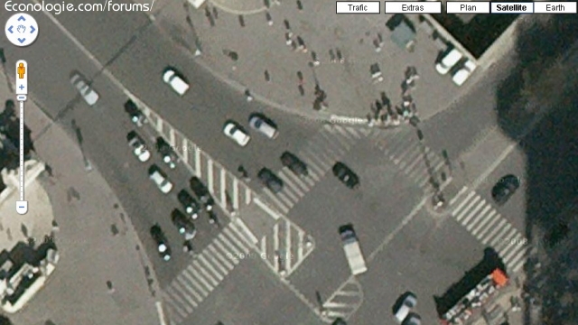
By zooming we get an 15 20 pixels for a car of 2m wide: so we are about 10 cm / pixel ... cheat me?
There is clearly marked "satellite" in the caption ... but maybe it is aerial photos?